
M5 Junction 4a to 5: The M5’s Second Busiest Stretch
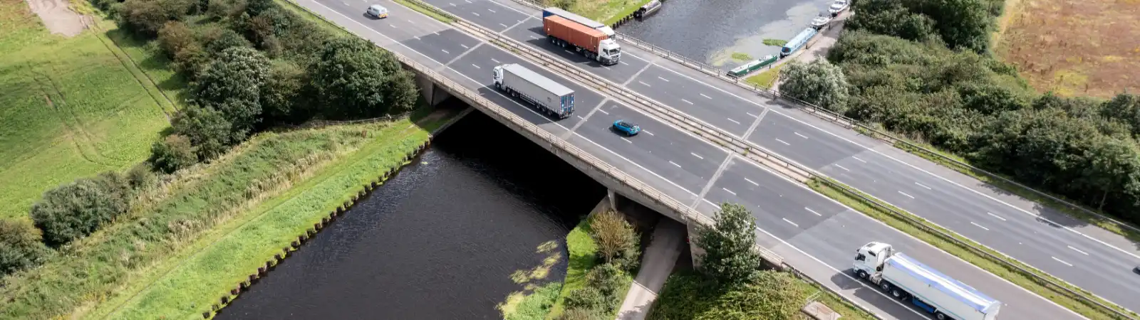
Junction 4a is where the M42 begins, leaving the M5 near Bromsgrove and heading north-east around Birmingham towards Solihull, the NEC and Birmingham Airport. The stretch south from there to Junction 5 (A38, Droitwich) is the second busiest on the M5, carrying 136,816 vehicles a day in the Department for Transport’s 2025 counts. Traffic from the M42 and from Birmingham both funnel onto it, which helps explain why it is so busy. Here is what we know about M5 Junction 4a to 5 traffic.
Latest M5 traffic news near Junction 4a and 5
Search all the latest M5 traffic news →
Latest accident or incident on the M5
The most recent accident or incident on the M5 that we are aware of.
M5 northbound Jct 14 entry slip road closure
23:3816 Sept 2026reported 23 min ago
- Location
- M5 J14 northbound access
- Direction
- Northbound
- Lanes closed
- Carriageway closed
- Reason
- Other
- Schedule
- 19:50 Wed 16 Sept 2026 → 06:00 Thu 17 Sept 2026
Latest active roadworks on the M5
Roadworks live on the M5 right now.
M5 both directions Jct 27 to Jct 26 - HS & lane 1 & 2closure
23:3816 Sept 2026reported 23 min ago
- Location
- M5 northbound within J26
- Direction
- Both directions
- Lanes closed
- Lane closures
- Reason
- Maintenance work
- Schedule
- 20:45 Wed 16 Sept 2026 → 06:00 Thu 17 Sept 2026
+ 3 more active roadworks - search all M5 traffic news →
Latest planned roadworks on the M5
The next planned roadworks scheduled on the M5.
M5 Northbound Jct 31 to 30 lane 1, 2 closure 259/6b - 256/8b
23:3816 Sept 2026reported 23 min ago
- Location
- M5 northbound between J31 and J30
- Direction
- Northbound
- Lanes closed
- Lane closures
- Reason
- Construction work
- Schedule
- 20:00 Wed 16 Sept 2026 → 06:00 Thu 17 Sept 2026
Forecast - not confirmed
+ 10 more planned roadworks - search all M5 traffic news →
Road closed — on the overhead signs now
National Highways’ overhead signs are showing a road closure, as at 00:02 Thu 17 Sept 2026. 1 other serious message is on the signs - see them all below.
A38 CLOSED AFTER M5
Time now: Thursday, 17 September 2026, 00:0220:2716 Sept 2026set 4 hrs ago⚠ 4 hrs old✓ Checked by us 00:02
A38 CLOSED
AFTER M5Overhead Message
WhereM5 southbound, at J30 · on 1 signAlso onM5 signs onlySinceSet 20:27 Wed 16 Sept 2026We check these overhead signs at least every five minutes, but we can't guarantee a sign is still current if an incident or issue has been cleared and the sign has not been updated yet. Signs and news can each carry something the other does not - check both before you travel.
Search all the latest M5 traffic news →
Updated 00:02 Thu 17 Sept 2026
Powered by National Highways’ Transport Data Feeds.
For every incident, closure and set of roadworks currently reported on the M5, see our latest M5 traffic news. Planned night closures are on M5 closures tonight.
How much traffic uses M5 J4a to J5?
Averaged over 24 hours, 136,816 vehicles a day is about 5,701 an hour, or around 95 a minute. Rush hours are much busier than that and the middle of the night much quieter, but the average gives a fair sense of the scale of this stretch.
By direction, the busiest northbound count point, heading towards the M42 and Birmingham, measured 71,431 vehicles a day. The busiest southbound point, heading away from the M42 towards Droitwich, measured 65,385. Our M5 northbound and M5 southbound pages carry the news for each side.
Who uses this stretch?
About 73% of the traffic is cars and taxis, roughly 99,318 a day. Lorries come to 13,457 a day, about 9.8% of the total, the third highest number of lorries on any stretch of the M5. Most of the remaining 24,041 are vans.
A junction where two motorways meet has more merging and lane changing than a plain stretch of road. Keeping your distance and planning your lane early makes a real difference here. Our M5 accidents page has tips for avoiding trouble and shows what is currently reported.
Where the M42 takes you from Junction 4a
The M42 runs north-east from Junction 4a around the eastern side of Birmingham, rather than through it. On the way it meets the M40, the main motorway towards Oxford and London, passes the NEC, and eventually joins the M6 north-east of Birmingham. That makes Junction 4a a natural place for drivers from the South West to leave the M5, whether they are heading for London, the airport or the East Midlands, and it is one reason so much traffic uses the stretch between here and Droitwich. If your route turns onto the M42, check its news before you reach the junction.
The junctions either side
North of Junction 4a the M5 continues to Junction 4 at Bromsgrove and on towards Birmingham and the M6. Junction 5 is the A38 for Droitwich. Carry on south and you reach Junction 6 for Worcester, and the stretch from Junction 5 to 6 is the busiest stretch of the whole M5.
Frankley Services lie a short way north, between Junctions 3 and 4, and Strensham Services are further south at Junction 8. Every junction is shown on our map of the M5 junctions, and messages on the overhead gantries are on M5 overhead signs.
The busiest stretches of the M5
Junction 4a to 5 is second in the table below. It sits right next to the busiest stretch of all, so the two stretches either side of Droitwich carry more traffic than anywhere else on the motorway.
| Rank | M5 stretch | Vehicles per day | Cars & taxis | Lorries |
|---|---|---|---|---|
| 1 | J5 to J6 | 150,612 | 108,634 | 15,176 |
| 2 | J4a to J5 | 136,816 | 99,318 | 13,457 |
| 3 | J15 to J16 | 129,400 | 97,396 | 10,610 |
| 4 | J16 to J17 | 121,685 | 90,630 | 9,618 |
| 5 | J1 to J2 | 119,998 | 83,626 | 11,454 |
| 6 | J20 to J21 | 118,811 | 92,064 | 7,702 |
Traffic figures are annual average daily flows, both directions together, from the Department for Transport road traffic statistics for 2025. The DfT measures the M5 at 55 count points; the ranking uses the 24 stretches that run between numbered junctions. Where a stretch has more than one count point, the busiest measured point is shown. Hourly and per-minute figures are simple averages across the whole day and night, not peak-time figures. Contains public sector information licensed under the Open Government Licence v3.0.